FechTin Go · Vietnam · Binh Phuoc
Bu Gia Map National Park
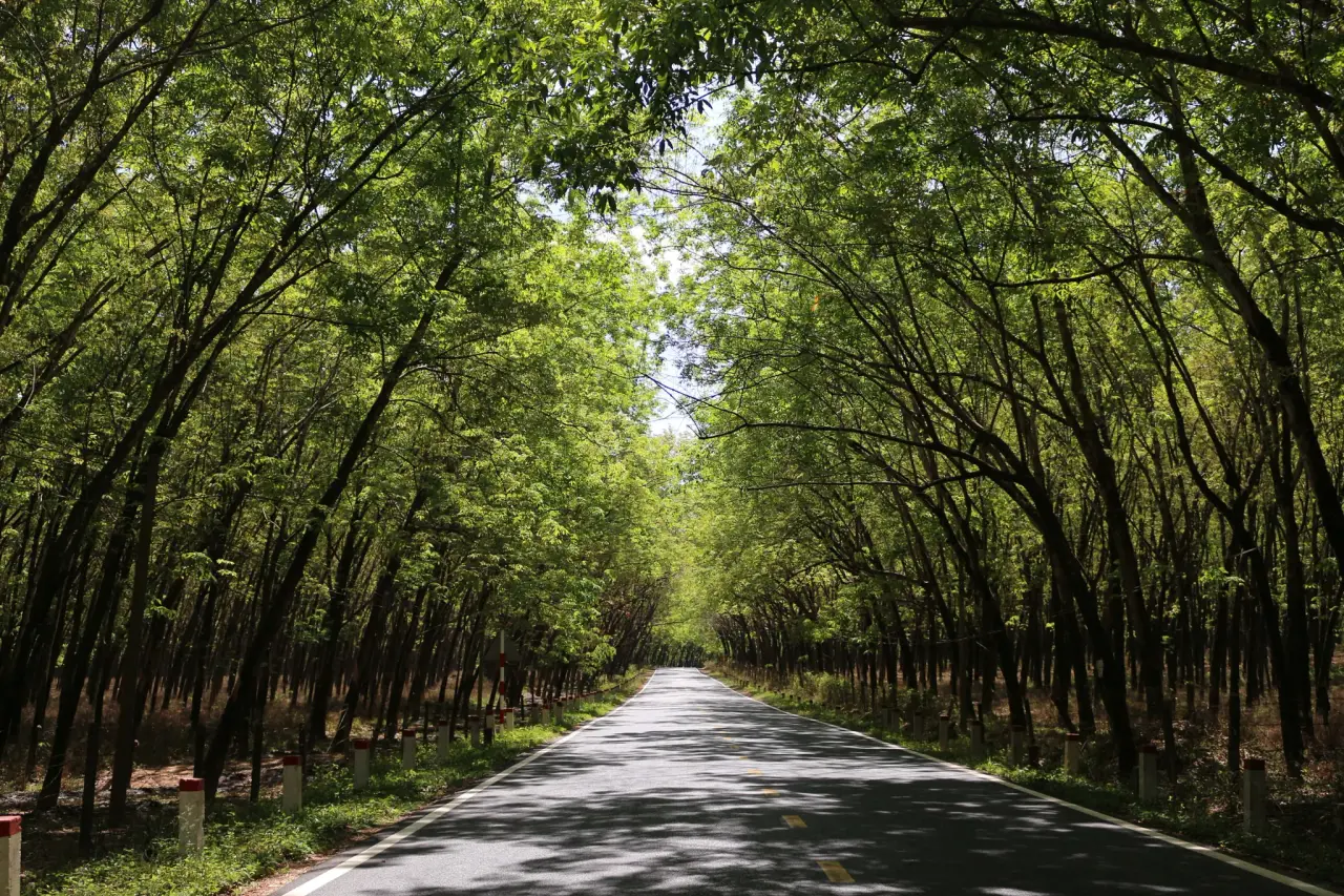
A tree-lined road through the park · Adtek Labs · Pexels License
A primary forest along the Cambodian border, rich in biodiversity with waterfalls, underground streams and S'tieng culture.
Bu Gia Map National Park lies in the far north of Binh Phuoc, along the Cambodian border—a rare swath of primary forest that still keeps the wild beauty of the southeast. The forest here is deep green year-round, sheltering many rare animals, birds, butterflies and ancient timber trees. Adventurous visitors can trek through the forest, wade across streams and admire waterfalls and underground caves untouched by time. The buffer zone is home to the S'tieng and M'nong peoples with their distinctive gong culture and rice wine. Bu Gia Map is a destination for anyone yearning for a journey truly close to the ancient forest.
Visitor information
When is the best time to visit Bu Gia Map National Park?
November to April (dry season, safe for forest trekking)
How long do you need at Bu Gia Map National Park?
1–2 days
What are the opening hours of Bu Gia Map National Park?
07:00–16:30
Did you know
- Bu Gia Map borders Cambodia and Dak Nong province.
- The park protects many primate and rare bird species.
- The buffer zone is home to the S'tieng and M'nong peoples.
- The forest still holds many precious ancient timber trees hundreds of years old.
Travel tips
- Contact park management to arrange a ranger guide for trekking.
- Prepare anti-leech gear, drinking water and sturdy stream-wading shoes.
Source: https://en.wikipedia.org/wiki/B%C3%B9_Gia_M%E1%BA%ADp_National_Park
Updated: 2026-08-06